


Max King Design Associates | 310-387-3950 | max@maxlking.com
photography • graphic design portfolio • home staging portfolio • project 152 • SET 2 RECORD documentation services
project
152
life on and off the highway:
a documentation of fleeting moments
along the road


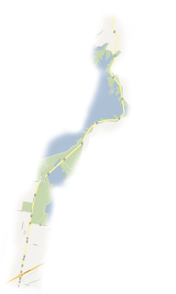
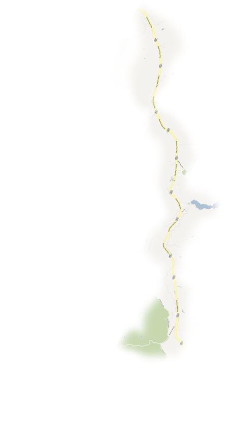
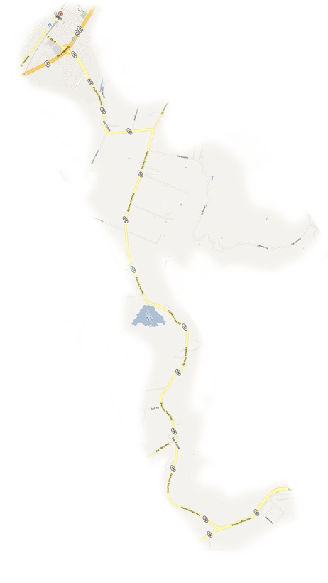
Route 152, also known as the Pacheco Pass highway, travels east from Highway 101 in North/Central California and leads us from Old Gilroy, proclaimed to be a Garlic Captiol, into a an historic valley of farms and ranches. Route 156 merges into 152, continuing through hills and past waterways toward Route 5, the central passageway to Southern California.
This project seeks to record the every day as well as the special moments, observing the changes in land, its people and the seasons.... through visual record and stories told.
It is a work-in-progress / an on-going and continuously building project, using map as skeleton and
orienting point.
Hwy 101 to 152 east through Old Gilroy
part of the Juan Bautista de Anza Historic Trail
Canada Rd departs to the north towards Henry W. Coe State Park
past Bolsa de San Felipe,
a lake and wetlands identified by the National Audubon Society as an Important Bird Area (IBA)
Hwy 156 from Hollister merges
Casa de Fruita began with its first orchards in 1908 and today operates a well-known produce resort
Pacheco Lake of Santa Clara County offers fishing and Pacheco State Park, outdoor recreation
Pacheco State Park abuts San Luis Reservoir State Recreation Area
>> click on a section below to learn more about its area

Route 152 intersects with Route 5, going south through the Central Valley towards Los Angeles
|
|